How a low-level category cyclone caused Cairns’ largest flood in more than a century
Cairns #Cairns

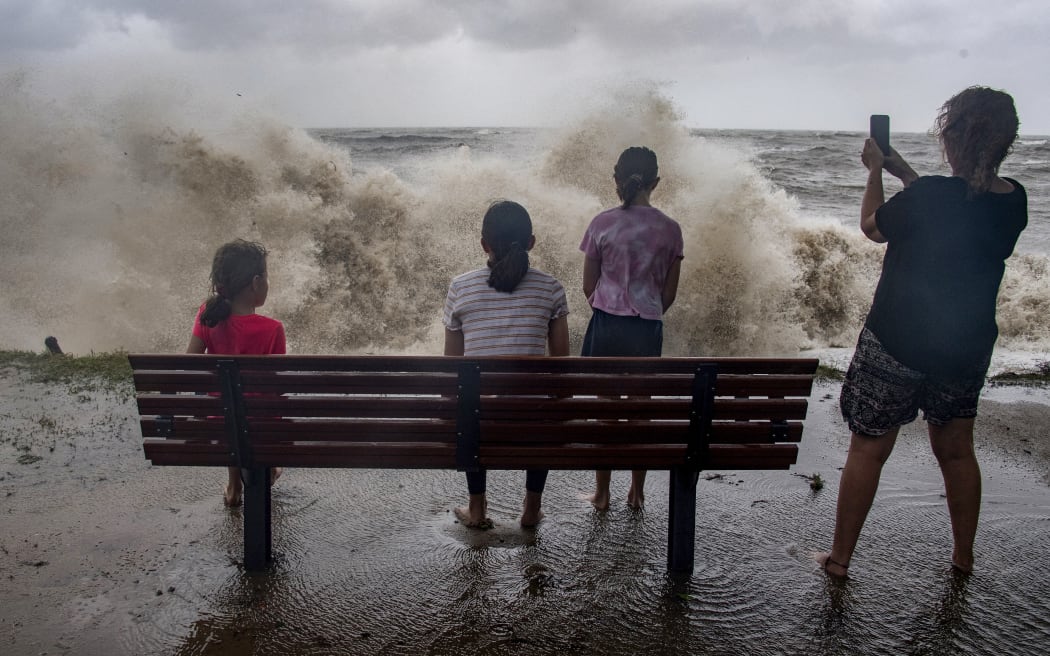
A family watch the storm roll in across the Coral Sea at Holloways Beach as Cyclone Jasper approaches landfall in Cairns in far north Queensland. Photo: BRIAN CASSEY
By weather reporter Tyne Logan, ABC News
As heavy rain starts to ease across north Queensland, and flood evacuations continue, locals are wondering how a relatively low-level category cyclone turned into such chaos.
The Australian state may be used to flooding and heavy rains, but emergency services say these deluges have gone to another level.
More than a century of flood records were broken in rivers just outside of Cairns and the Daintree, as ex-Tropical Cyclone Jasper dumped unrelenting rain over the region, with flood warnings still in place.
According to Queensland Police Commissioner Katarina Carroll, these falls were also “unexpected”.
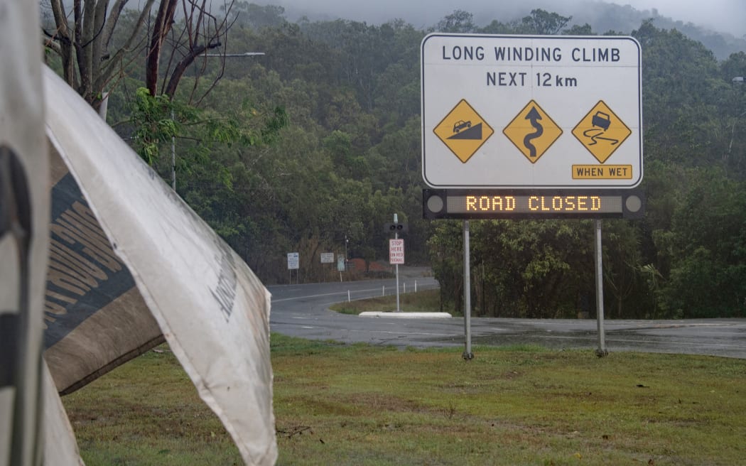
Signage showing a road closure is seen as Cyclone Jasper approaches landfall near Cairns in far north Queensland. Photo: AFP
So what happened?
Stalled system opens the tap on the Daintree and Cairns
Central Queensland University climate scientist Steve Turton said the deluges ultimately came down to the movement and pace of ex-Cyclone Jasper, which stalled unexpectedly.
He said models were showing the remains of system moving into the Gulf of Carpentaria, “taking the rain with it”.
But instead, it ended up sitting just inland of Kowanyama, setting up what he called a “stationary convergence zone”, and opening the tap on the region.
“Because it was sitting put, it was bringing very moist air down on its northern flank, and that was meeting air coming up from a ridge of high pressure in the Tasman Sea, that was bringing in equally moist south-east trade winds,” he said.
“That convergence [of winds] was the main forcing mechanisms, pushing the air upwards, and releasing that very saturated air in the form of rainfall.”
Professor Turton said the mountains in the region also provided an additional “uplift”.
“And it’s like a tap, and it will keep doing that pretty well indefinitely until eventually the low either weakens or moves away,” he said.
The result was non-stop rain for two days, and an emergency that rapidly grew across the region.
Figures from the Bureau of Meteorology show over two metres of rain have fallen in some gauges in the Mossman Gorge region, and 1.9m of rainfall at the Kuranda Railway Station.
The Bairds rain gauge saw 870 millimetres to 9am Monday, the third highest Australian 24-hour rain record, and the heaviest anywhere in Australia since 1958.
Mossman South and Whyanbeel Valley both had over 700mm, which were all time records for the sites.
Meanwhile Cairns has received over 600mm of rainfall over the course of the event.
It was this stamina that has made the event so remarkable, says Professor Turton.
“It’s the rates of rainfall, and the fact that it’s been over a period of at least two to three days,” he said.
“That’s what makes it extraordinary.”
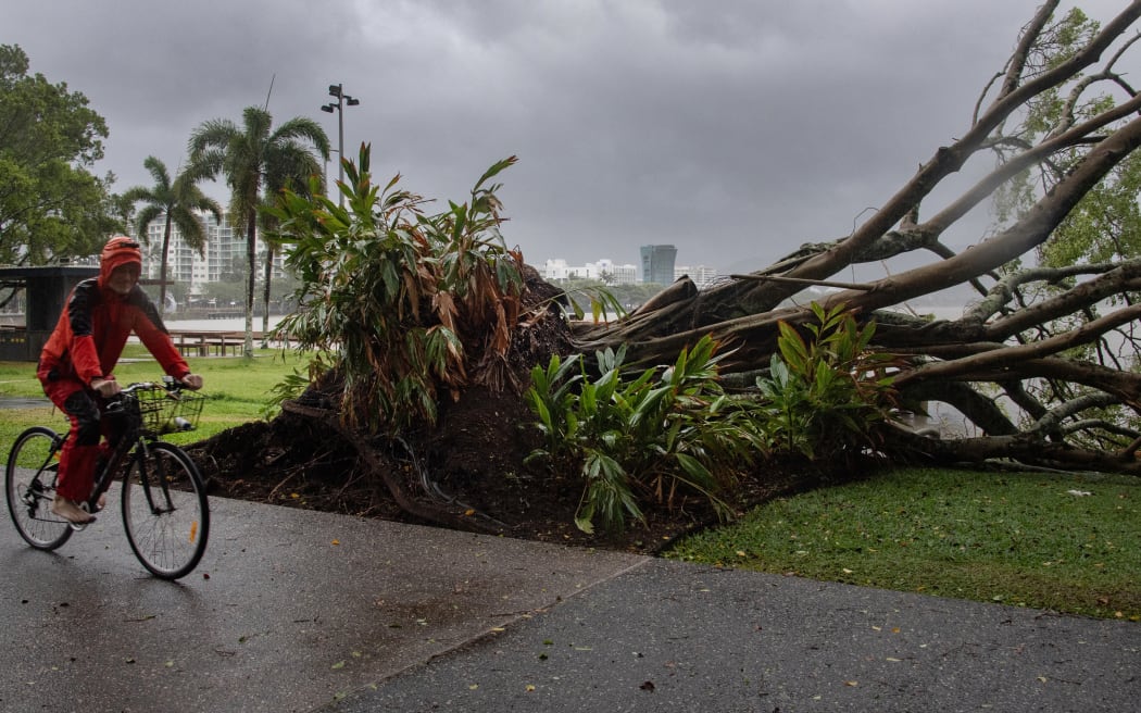
A man cycles past a downed tree as inclement weather from Cyclone Jasper impacts Cairns in far north Queensland. Photo: AFP / BRIAN CASSEY
Similar to 2019 Townsville flood
Professor Turton said Australia had seen events of a similar nature before, including the Townsville flood-crisis in 2019, and the Kimberley earlier this year.
“The Townsville floods were caused by a similar blocking high in the Tasman, and basically a stationary low-pressure system near Julia Creek,” he said.
“And basically, the convergence zone on that occasion was sitting right over Townsville.
“They didn’t receive as much rain as this event produced, but for them it was a year’s worth of rain in about a week.”
In January this year, ex-Cyclone Ellie, which was a tropical low, caused Western Australia’s worst-ever flooding event over the Kimberley, after it spent days circling the region.
He said what made this event a little more unusual was that it didn’t form in the monsoon trough like the other two events, and that it occurred during an El Nino event.
Short lead time for forecasters
With ex-Cyclone Jasper, the Bureau of Meteorology (BOM) had been warning of the category two system, near Port Douglas, for several days prior to its landfall.
Along with destructive winds, flooding and inundation were a part of these warnings – particularly for areas around the coast and ranges between Cape Flattery and Port Douglas.
But BOM’s senior meteorologist Laura Boekel confirmed the lead time for the extreme and prolonged rainfall forecast was short.
She said BOM began issuing warnings Saturday afternoon when they saw the situation change, with the downpours beginning overnight on Saturday into Sunday.
“We were talking about [the cyclone] for over a week, but with this extended rainfall that we’ve seen, it’s quite unusual, and it’s very complex in these tropical systems, so it was one of those situations where the lead time was greatly shortened,” she said.
“It did evolve very quickly, in that we did not see a lot of reprieve the following 24 hours.
“We saw very intense rainfall without any reprieve in some areas.”
Severe weather is no longer occurring in the north of Queensland, however several major flood warnings remain in place, according to BOM.
This story was originally published by the ABC.


