FRIDAY EVE FRONT
Happy Friday Eve #HappyFridayEve

Happy ‘Friday Eve’, South Florida!
Hopefully everyone has had a nice week so far. South Florida has been experiencing a temperature rollercoaster ride for the last few days and it seems this morning was no different. We woke up to mild temperatures in the 70s and muggy conditions as a front inches closer to our area. We saw more clouds building through the morning as moisture spread across South Florida. And even though temperatures were not as warm AS Wednesday morning, the added humidity made it feel like an ordinary summer morning instead of the end of January!

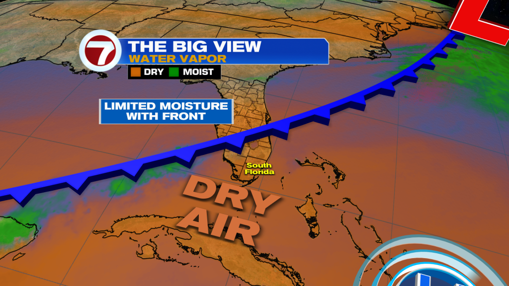
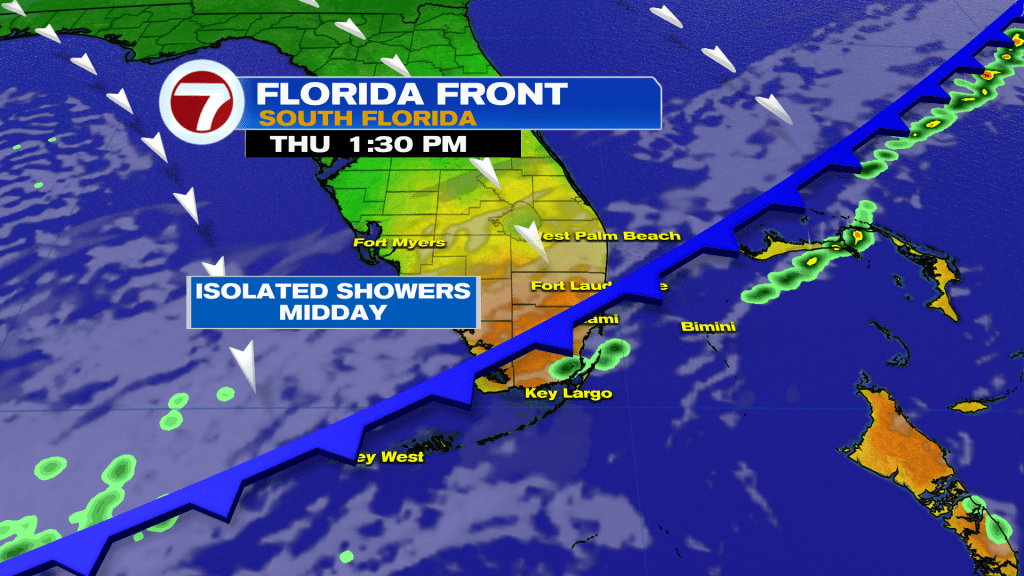
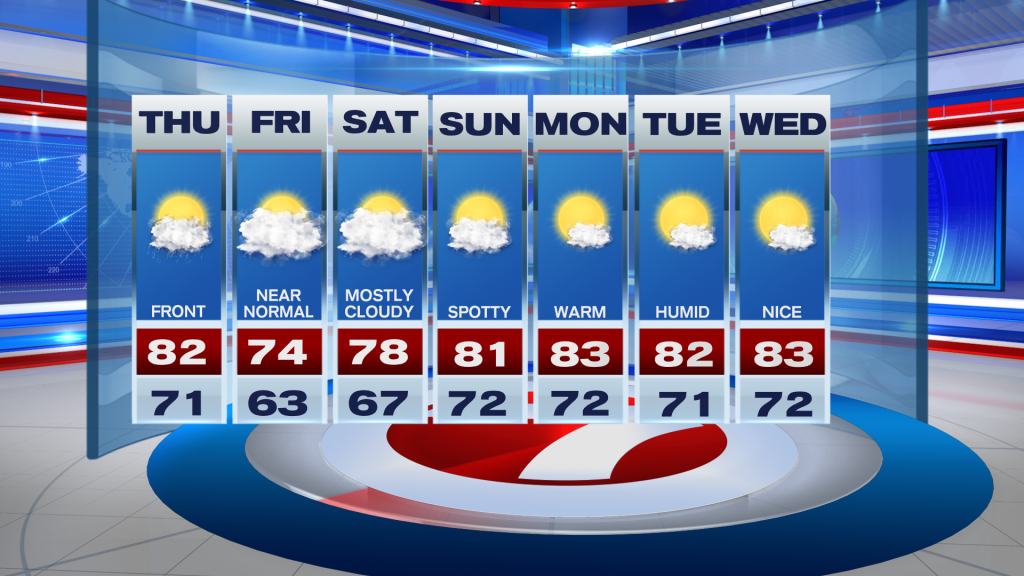
So let’s talk about this next front that is forecast to reach South Florida today. Unlike the last two fronts, this one seems to have a bit more in the way of moisture and it could be enough to squeeze out a few showers. It also looks like this front may actually have a little more energy to it, which means that it is forecast to clear South Florida and bring a refreshing change to our area. Ahead of the front, high temperatures will reach the low 80s and will feel muggy. Clouds will then increase as the front comes through!

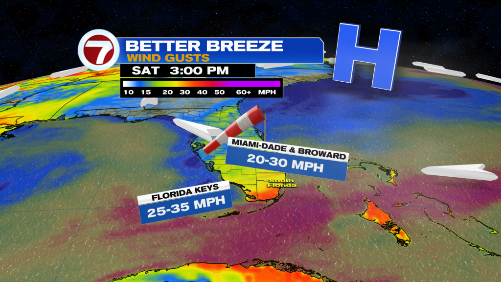
Behind the front, our winds will increase. This will cause deteriorating marine conditions for all South Florida waters. pattern will veer out of the North while our wind speeds increase and this will eventually bring cooler and drier air to South Florida to close out the week. It just won’t be as cool as originally expected.

So how cool are we talking? Friday morning temperatures promise to be in the low 60s. Some inland spots could even drop into the 50s. An increase in cloud cover on Friday will limit warming so our afternoon high temperatures will remain below average in the lower 70s. This will be the ‘coolest’ day of the week! Saturday morning will still be comfortably cool, especially across our inland areas, however, our metro and coastal locations may rebound into the mid to upper 60s during the morning. Afternoon temperatures Saturday will be nearing 80° again. Warming trend returns by the end of the weekend and lingers into the start of next week.

Have a great afternoon!
Erika DelgadoMeteorologistWSVN Channel 7 News
Copyright 2023 Sunbeam Television Corp. All rights reserved. This material may not be published, broadcast, rewritten or redistributed.
Join our Newsletter for the latest news right to your inbox