Tropical Storm Idalia on path to become Category 3 hurricane in Gulf
Category 3 #Category3

Idalia was nearly a hurricane on Monday morning as it headed for the Gulf of Mexico — and an eventual landfall in Florida.
The National Hurricane Center is now forecasting Idalia to become a Category 3 — or major hurricane — before it makes landfall on Florida’s Gulf Coast on Wednesday.
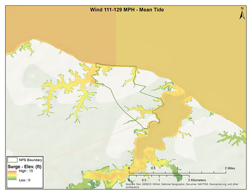
Idalia could bring winds up to 115 mph, storm surge of 7 to 11 feet and possibly a foot of rain to parts of the Sunshine State.
Idalia was still a tropical storm on Monday morning but was expected to become a hurricane today. When it does it will be the third hurricane of 2023 in the Atlantic. The hurricane center on Monday was also tracking Hurricane Franklin, which had strengthened to a Category 4 storm and will pass to the west of Bermuda in a few days.
Idalia is expected to make landfall in Florida on Wednesday, according to the hurricane center.
As of 4 a.m. CDT Monday, the center of Idalia was located 125 miles south of the western tip of Cuba and was on a path northward at 7 mph.
Idalia had top winds of 65 mph. Hurricane-force winds start at 74 mph. Category 3 winds start at 111 mph, and Idalia is forecast to reach that threshold in 48 hours — right before making landfall.
The hurricane center’s forecast cone on Monday stretched along Florida’s Gulf Coast from east of Apalachicola to south of Tampa. The cone only shows where the center of the storm could go, however. Idalia is expected to spread wind and rain far from the center.
The storm is forecast to move across northern Florida — still at hurricane strength — and then into the western Atlantic and up the coasts of the Carolinas as a tropical storm before turning out to sea later this week.
Alabama is not in the forecast cone at all but could feel some effects from Idalia. The National Weather Service in Mobile will raise the risk of deadly rip currents to high from late Tuesday until Thursday along the Alabama and northwest Florida beaches. Seas are also expected to be rough.
Here are the watches and warnings for Florida:
* Tropical storm warning for the Dry Tortugas.
* Storm surge watch from Chokoloskee to Indian Pass, including Tampa Bay.
* Hurricane watch from Englewood to Indian Pass, including Tampa Bay.
* Tropical storm watch from south of Englewood to Chokoloskee, the Lower Florida Keys west of the west end of the Seven Mile Bridge.
Here is the storm surge forecast for Florida:
* Aucilla River to Chassahowitzka — 7-11 feet
* Chassahowitzka to Anclote River — 6-9 feet
* Ochlockonee River to Aucilla River — 4-7 feet
* Anclote River to Middle of Longboat Key — 4-7 feet
* Tampa Bay — 4-7 feet
* Middle of Longboat Key to Englewood — 3-5 feet
* Englewood to Chokoloskee — 2-4 feet
* Charlotte Harbor — 2-4 feet
* Indian Pass to Ochlockonee River — 2-4 feet
* Chokoloskee to East Cape Sable — 1-3 feet
* Florida Keys — 1-2 feet
Idalia could also bring a lot of rain and cause flash flooding in Florida. The hurricane center said 4 to 8 inches of rain will be possible for parts of the west coast of Florida, the Florida Panhandle, southeast Georgia and the eastern Carolinas. Isolated areas near the landfall point could get up to a foot of rain.
Idalia will also spread the threat for tornadoes across the Florida peninsula and north Florida as it moves onshore.
HURRICANE FRANKLIN
Hurricane Franklin was a Category 4 storm with winds of 130 mph on Monday. It is forecast to pass close to Bermuda on Wednesday.
The hurricane center also was tracking Franklin, which has strengthened into 2023′s first major hurricane in the Atlantic. The hurricane center issued a special statement on Monday morning that Franklin had strengthened to a Category 4 hurricane with sustained winds of 130 mph.
Franklin will pass close to Bermuda on Wednesday, and a tropical storm watch will likely be issued for the island soon, according to forecasters. There are currently no watches or warnings for Franklin in effect.
As of 6:35 a.m. CDT Monday, the center of powerful Hurricane Franklin was located about 490 miles southwest of Bermuda. Franklin was moving to the north-northwest at 8 mph.
This could be Franklin’s peak. The hurricane center said gradual weakening could begin on Tuesday afternoon.
Franklin won’t directly affect the U.S. but could cause deadly rip currents along the East Coast this week.